Work with placemarks
Placemarks are part of UgCS functionality that is used for informing users about possible dangers on the map. It is also possible to add custom markers and use them for individual purposes.
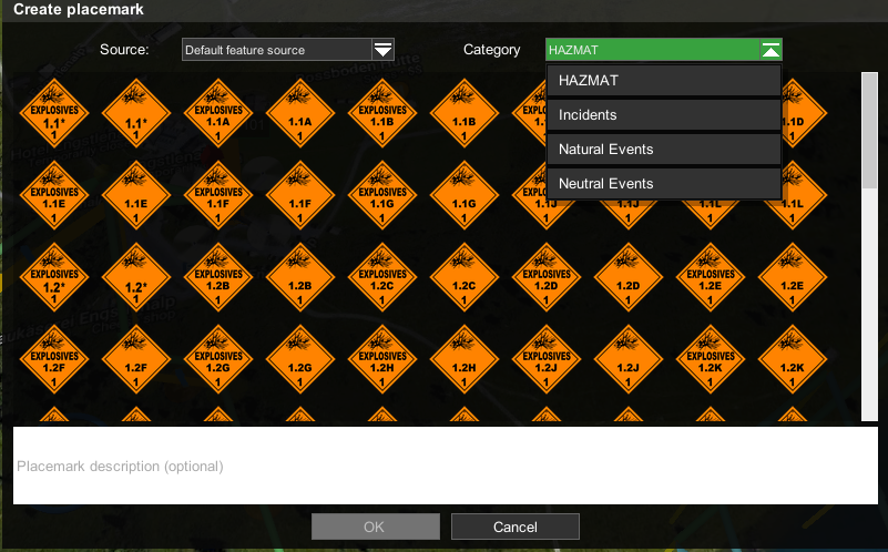
Placemarks are structured in categories. Currently, there are three categories:
• HAZMAT – describes dangerous substances (solids, liquids, or gases) that can be harmful
• Incidents – warns about dangers caused mainly by human activity
• Natural Events – warns about natural disasters or dangers.
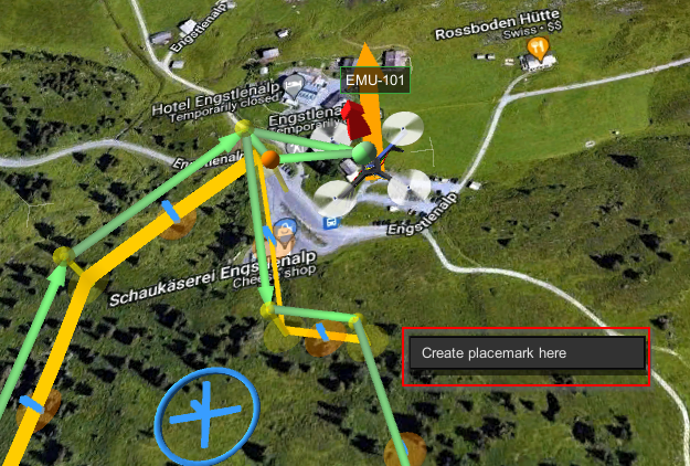
To place a placemark, right-click on the desired area, select “Create placemark here” and chose from the available placemarks in the desired category.

Adding description to placemark helps to inform about the purpose of placing it.

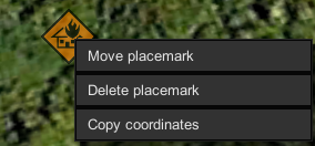
To remove a placemark, right-click on the placemark and chose “Delete placemark”.
To move a placemark, right-click on a placemark, choosing “Move placemark” and then left-click on the area the placemark needs to be moved to.
To copy coordinates, right-click on the placemark and choose "Copy coordinates".

It is possible to import custom markers in *.KML format using UgCS Client - Placemark layers.
Updated about 1 month ago
